free portfolio site templates

Meridian Imagery

See the world with confidence and clarity

Technology

Transform satellite data to insights
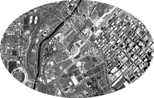
Mobirise

Electro-Optical
(EO)

Analyze EO to see real-world conditions and how people or objects interact.

Mobirise

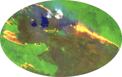
Multi & Hyper-Spectral (MSI & HSI)

Use MSI and HSI signatures to type materials and verify events.

Mobirise

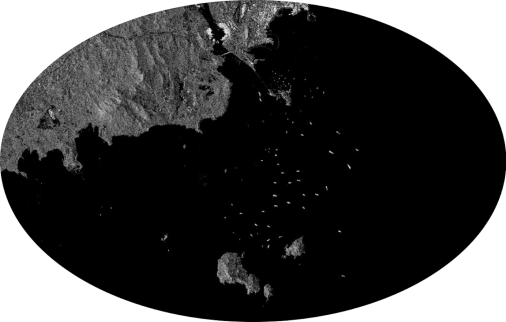
Synthetic Aperture Radar (SAR)

Monitor developments day or night and through cloud cover with SAR imagery.
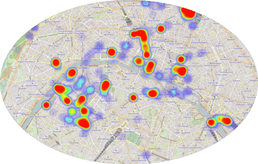
Mobirise

Radio Frequency
(RF)

Visualize RF activity to track assets, recognize patterns, and tip-and-queue.

Markets Served

Making satellite data accessible to all

Agriculture

Predict yields before harvests, verify outside information, or streamline logistic chains. 

Energy

Enable upstream exploration and operations, while monitoring midstream production and storage.

Mobirise

Finance

Gain insights from real-time alternative data sources to understand present and future market conditions.

Disaster Response

Determine overall environmental impacts and property damages, mobilizing resources to areas of most need.

About Us

Meridian Imagery at the forefront of earth observation

Rooted in proven technologies and decades of tradecraft development, the earth observation experts at Meridian Imagery leverage satellite data to develop impactful assessments that position your organization as a market leader. Our services reduce risks and eliminate unknowns, allowing you to make decisions with greater confidence and clarity than ever imagined possible.

© Copyright 2020 Meridian Imagery LLC. All Rights Reserved